No Trace Expedition is an innovative project of environmentally friendly traveling. Marek Kamiński wants to drive around 13,000 km through Siberia to Japan by electric car.
Zakopane
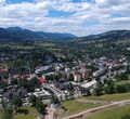
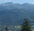
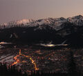
Zakopane is a town in the extreme south of Poland. It is near the border with Slovakia and lies in a valley between the Tatra Mountains and Gubałówka Hill. Zakopane is a center of Góral culture and is known informally as "the winter capital of Poland.” It is a popular destination- is visited by over 2,500,000 tourists a year.
Town offers many attractions all year round. In the winter, tourists are interested in winter sports activities such as skiing, snowboarding, ski jumping and ice skating. During the summer, tourists come to do activities like hiking, climbing, bike and horse riding.
The architecture of this region is quite unique. Houses are all constructed from wood without the use of metal nails and traditionally, every building has its own name. Many are decorated with elaborate floral motifs.
Zakopane is the place where Marek Kamiński starts his journey.



Warszawa
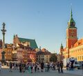
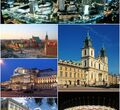
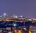
Warsaw is the capital and largest city of Poland. The metropolis stands on the Vistula River in east-central Poland and its population is officially estimated at 1.760 million residents within a greater metropolitan area of 3.101 million residents, which makes Warsaw the 9th most-populous capital city in the European Union. Warsaw is an alpha global city, a major international tourist destination and a significant cultural, political and economic hub.
The capital city of Poland is one of Europe’s most dynamic metropolitan cities. In 2017 the city came 4th in the “Business-friendly” category and 8th in “Human capital and life style”. It was also ranked as one of the most liveable cities in Central and Eastern Europe. The city is the seat of the Polish Academy of Sciences, Warsaw National Philharmonic Orchestra, University of Warsaw, the Warsaw Polytechnic, the National Museum, the Great Theatre—National Opera, the largest of its kind in the world and the Zachęta National Gallery of Art. The picturesque Old Town of Warsaw, which represents examples of nearly every European architectural style and historical period, was listed as a World Heritage Site by UNESCO in 1980. Other main architectural attractions include the Castle Square with the Royal Castle and the iconic King Sigismund's Column, the Wilanów Palace, the Łazienki Palace, St. John's Cathedral, palaces, churches and mansions all displaying a richness of colour and detail. Warsaw is renowned for its bars, restaurants, art galleries and, most notably, several dozen museums and outspread greenery, with around a quarter of the city's area occupied by parks.
The symbol of the city is the Mermaid, featured on the city seal. Warsaw is a bustling metropolis and features an unforgettable history
Warsaw is one of the stops on Kamiński's route and is located about 410 km from the start.


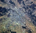
Gdańsk
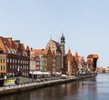
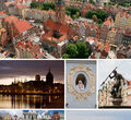
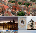
Gdańsk is a Polish city on the Baltic coast. It is the capital of the Pomeranian Voivodeship, Poland's principal seaport and the centre of the country's fourth-largest metropolitan area. The city lies on the southern edge of Gdańsk Bay (of the Baltic Sea), in a conurbation with the city of Gdynia, Sopot, and suburban communities, which together form a metropolitan area called the Tricity (Trójmiasto), with a population approaching 1.4 million. Gdańsk itself has a population of 490,827 (2016), making it the largest city in the Pomerania region of Northern Poland.
Gdańsk is home to the University of Gdańsk, Gdańsk University of Technology, the National Museum, the Gdańsk Shakespeare Theatre, the Museum of the Second World War, Polish Baltic Philharmonic and the European Solidarity Centre. The city also hosts St. Dominic's Fair, which dates back to 1260, and is regarded as one of the biggest trade and cultural events in Europe.
Gdańsk is one of the stops on Kamiński's route and is located about 930 km from the start point (Zakopane).



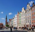
Kaliningrad
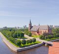
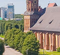
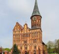
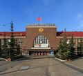
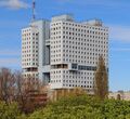
Kaliningrad is the administrative center of Kaliningrad Oblast on the Baltic Sea and is is sandwiched between Poland to the south and Lithuania to the north and east. It is at the mouth of the navigable Pregolya River, which empties into the Vistula Lagoon, an inlet of the Baltic Sea.
In the Middle Ages, it was the site of Old Prussian settlement Twangste. It was heavily damaged during World War II and its population fled or was removed by force when it became a Russian city. Annexed from Germany in 1945, the territory was a closed military zone throughout the Soviet period. According to the 2014 census, its population was 448,548.
Kaliningrad is one of the stops on Kamiński's route and is located approximately 770 km from the start point.


Kryzkalnis
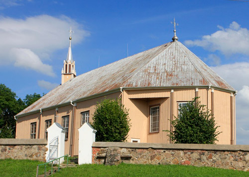
Kryzkalnis is a small town in a Raseiniai district municipality, Kaunas County, central-western Lithuania. In 2011, it had a population of 1,678. 221 Jews lived in the town according to the 1923 census. The German army entered the town on June 23, 1941 and set up a ghetto to imprison the Jewish population. Starting on July 24, 1941, hundred of Jews living in the city were shot by Germans and Lithuanians collaborators.
Kryzkalnis is one of the stops on Kamiński's route and is located about 1310 km from start point (Zakopane).


Ogre
Ogre is the principal town of Ogre Municipality (and previously Ogre District) in Central Latvia, 36 kilometres (22 miles) east of the capital Riga, situated at the confluence of the Daugava and Ogre rivers. It has been a town since 1928. Ogre is composed of three parts: Jaunogre (meaning 'New Ogre'), Ogre (the center of the town), and Pārogre (meaning "Ogre across (the river)" though not all of the named region is across the river).
The name of the town comes from the Ogre river. The Ogre village was first mentioned in 1206, called "Oger" in German.
Ogre is one of the stops on Kamiński's route and is located about 1555 km from the start point (Zakopane).


Tartu
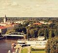
Tartu with a population of roughly 97,000 is Estonia's second largest city. But it's easily first in terms of brainpower and historical vibe, because it is the oldest city in the Baltics. A home to one of Northern Europe’s oldest universities, Tartu has a wealth of museums (such as Estonian National Museum) and an upbeat nightlife. Upon your arrival in Tartu, you are soon welcomed by a statue of kissing students standing in a large Classicist town square nearby museums, cafes and a large park formed around a hill. Tartu is very compact, with most sights, restaurants and nightlife nestled across a couple of parallel streets. Being the second largest town in Estonia and a hot bed for creative and scientific culture, there is always something on from theatre performances to concerts and festivals.


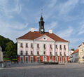
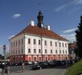
Narva
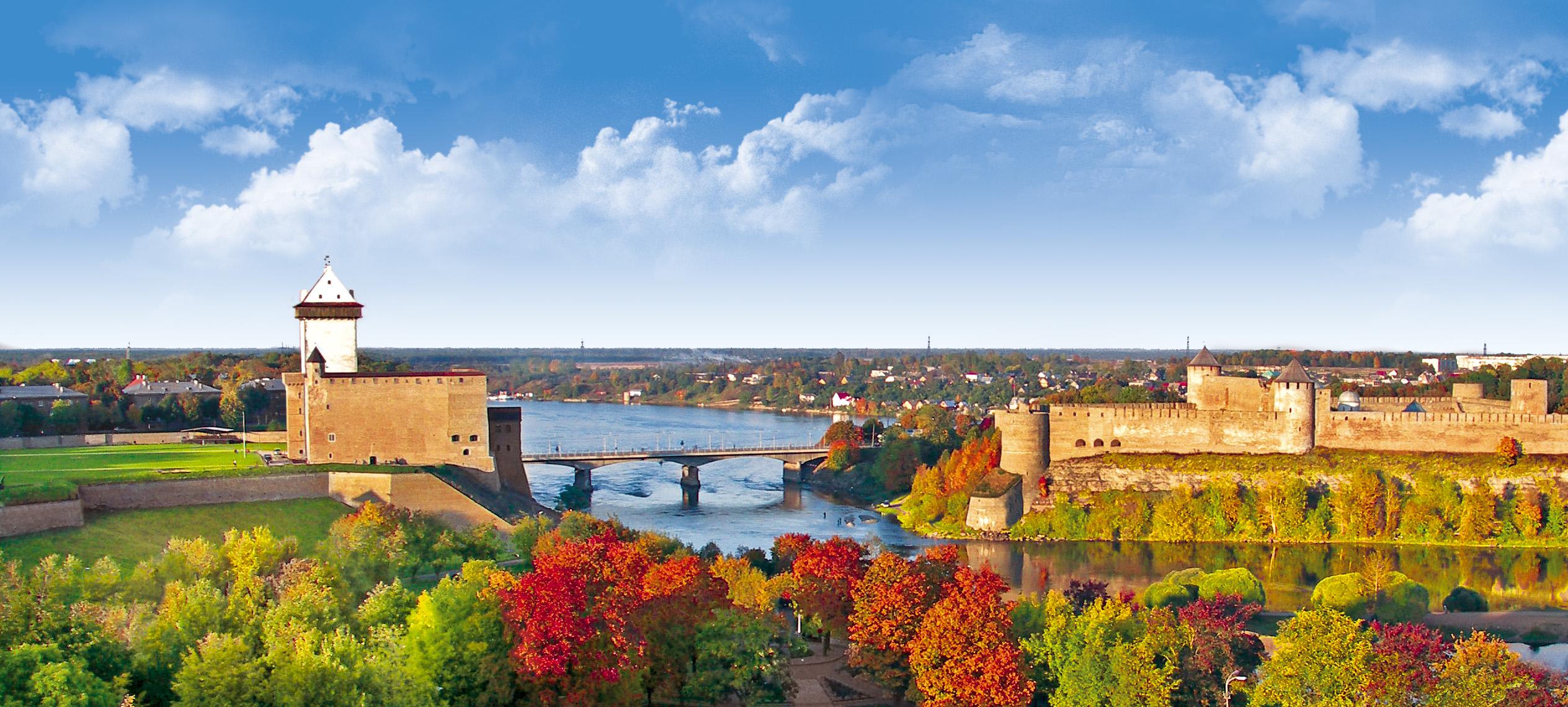
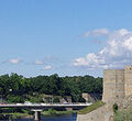
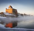
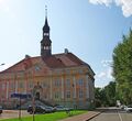
Narva is the third largest city in Estonia. It is located at the eastern extreme point of Estonia, at the Russian border, on the Narva River which drains Lake Peipus.The border with Russia could hardly be more symbolic. It is a half-frozen river running between two ancient castles that face one another down with their monumental stone walls. The frontier location of Narva is the most characteristic feature of both the past and the present of the town. The historic border has been running there since the Middle Ages, along the banks of rapid river swiftly flowing its waters out the Lake Peipus into the Baltic Sea and dividing the two civilisations – the Catholic European North and Orthodox Slavonic East. However, the border between Estonia and Russia is not a mere line that separates, but also a place where two cultural worlds meet, mutually influence and interpenetrate each other.


Saint Petersburg
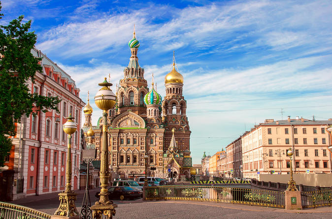
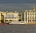
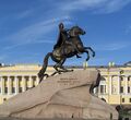
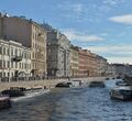
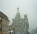
Saint Petersburg is Russia's second-largest city after Moscow, with about five million inhabitants. As an important Russian port on the Baltic Sea, it has a status of a federal subject (a federal city). It is rightfully called the cultural capital of Russia.St. Petersburg has all the ingredients for an unforgettable travel experience: high art, lavish architecture, wild nightlife, an extraordinary history and rich cultural traditions that have inspired and nurtured some of the modern world's greatest literature, music, and visual art. From the mysterious twilight of the White Nights to world-beating opera and ballet productions on magical winter evenings, St. Petersburg charms and entices in every season.


Moscow
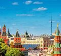
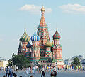
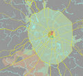
Moscow is the capital and most popular city of Russia, with 12.2 million residents within the city limits and 17.1 million within the urban area. It is recognized as a Russian federal city. Moscow is situated on the Moskva River in the Central Federal District of European Russia. The city is well known for its architecture, particularly its historic buildings such as Saint Basil's Cathedral with its brightly coloured domes. With over 40% of its territory covered by greenery, it is one of the greenest capitals and major cities, having the largest forest in an urban area within its borders.
Moscow is a major political, economic, cultural, and scientific centre of Russia and Eastern Europe. By broader definitions Moscow is among the world's largest cities, being the 14th largest metro area, the 18th largest agglomeration, the 15th largest urban area, and the 11th largest by population within city limits worldwide.
It is home to the Ostankino Tower, the tallest free standing structure in Europe; the Federation Tower, the tallest skyscraper in Europe; and the Moscow International Business Center.
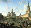
Moscow is the seat of power of the Government of Russia, being the site of the Moscow Kremlin, a medieval city-fortress that is today the residence for work of the President of Russia. The Moscow Kremlin and Red Square are also one of several World Heritage Sites in the city.
Moscow is a tenth stop on Kamiński's route and is located approximately 1850 km from the start point.



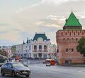
Nizhny Novgorod
Nizhny Novgorod is a city in the administrative center of Volga Federal District and Nizhny Novgorod Oblast in Russia. From 1932 to 1990, it was known as Gorky, after the writer Maxim Gorky, who was born there.
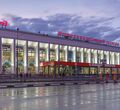
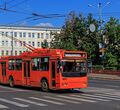
The city is an important economic, transportation, scientific, educational and cultural center in Russia and the vast Volga-Vyatka economic region, and is the main center of river tourism in Russia. In the historic part of the city there is a large number of universities, theaters, museums and churches. There are lving morethan 1 million people in the city.
The city was founded in 1221 by Prince Yuri II of Vladimir. In 1817 Nizhny Novgorod became a great trade center of the Russian Empire. During the Soviet period, the city turned into an important industrial center. During World War II, Gorky became the biggest provider of military equipment to the front. After the war, Gorky became a "closed city" and remained one until after the dissolution of the Soviet Union in 1990. At that time, the city was renamed Nizhny Novgorod once again.
The Kremlin – the main center of the city – contains the main government agencies of the city and the Volga Federal District.
Nizhny Novgorod is one of the stops on Kamiński's route and is located approximately 2030 km from Zakopane.


Kazan
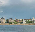
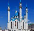
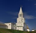
Kazan is the capital and largest city of the Republic of Tatarstan, Russia. With a population of 1,143,535, it is the sixth most populous city in Russia. Kazan lies at the confluence of the Volga and Kazanka Rivers in European Russia. The Kazan Kremlin is a World Heritage Site.
Kazan is one of the largest industrial and financial centers of Russia, and a leading city of the Volga economic region in construction and accumulated investment. In April 2009, the Russian Patent Office granted Kazan the right to brand itself as the "Third Capital" of Russia. In 2009 it was chosen as the "Sports capital of Russia" and it still is referred to as such. In 2015, Kazan was visited by 2.1 million tourists.
Kazan is one of the stops on Kamiński's route and is located approximately 2390 km from Zakopane.


Yelabuga
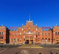
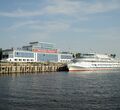
Yelabuga is a town in the Republic of Tatarstan, Russia, located on the right bank of the Kama River and 200 kilometers east from Kazan. Yelabuga is one of the oldest cities in Tatarstan and it celebrated its millennium in 2007. There are over 70 000 people living in this city.
The city is divided into two parts – the upper part is more industrial (one of the first special economic zones in Russia was established here), whereas the lower part is where most of the historical sites, restaurants and museums are found. Despite being the less touristic part, you will find one of the most famous landmarks of Yelabuga: the stone tower of the Chyortovo Ancient Settlement.
Yelabuga is one of the stops on Kamiński's route and is located approximately 2597 km from Zakopane.


Izhevsk
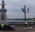
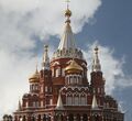
Izhevsk is the capital city of the Udmurt Republic, standing on the Izh River in the Western Ural Mountains. The population of Izhevsk is about 642,000 (from 2015) and it’s the nineteenth largest city in Russia.
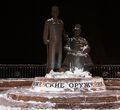
From 1984 to 1987, the city was called Ustinov, named after late Soviet Minister of Defence Dmitry Ustinov. The city is a major administrative, industrial, commercial, scientific, educational, and cultural center of the Urals and the Volga region. It is popular from its defense, engineering, and metallurgy industries. Izhevsk has the titles of the Armory Capital of Russia and the City of Labor Glory.
Izhevsk has more than 300 objects of historical and cultural heritage. 4 archaeological sites, 164 architectural objects, 99 objects of monumental fine arts, more than 100 plaques. All the best Izhevsk historical monuments are built in the classical style.
Izhevsk is one of the stops on Kamiński’s route and is located about 3590 km from the start point (Zakopane).



Ochyor
Ochyor is a town and the administrative center of Ochyorsky District in Perm Krai, Russia, located on the Ochyor River. The city was founded in 1759 and was granted town status in 1950.
The city has a reputation as one of the prime fishing spots in Permski Rayon, due to the local pond being downstream from several fish-spawning grounds. There is also the Stroganov Historical Museum of Ochyor, which chronicles both the history of the city, and the life and times of Russian nobleman Pavel A. Stroganov, who was connected with the actual naming of the city.
Ochyor is one of the stops on Kamiński’s route and is located about 3770 km from the start point (Zakopane).



Perm
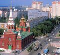
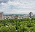
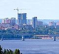
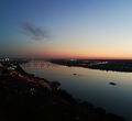
Perm is a city and the administrative center of Perm Krai, Russia, located on the banks of the Kama River in the European part of Russia near the Ural Mountains.
According to the 2010 Census, Perm's population is 991,162. As of the 2010 Census, the city was the thirteenth most populous in Russia.
From 1940 to 1957 it was named Molotov in honor of Vyacheslav Molotov.


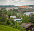
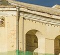
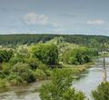
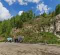
Kungur
Kungur is a town in the southeast of Perm Krai located in the Ural Mountains at the confluence of the Iren and Shakhva Rivers into the Sylva River (Kama's basin). The population of the city is about 66,074 (2012).
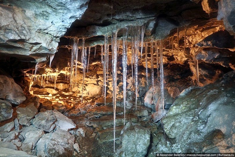
Kungur was founded in 1648 as a fortress and became an important post on routes to Siberia. It also became a noted centre for handicraft industries, especially in alabaster and crystal. In the vicinity are alabaster-walled caves, notably the Kungur cave along the Sylva River. A tourist attraction, this so-called ice cave features spectacular ice formations as well as numerous grottoes and underground lakes.
Kungur is one of the stops on Kamiński’s route and is located about 3965 km from the start point (Zakopane).
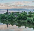
Yekaterinburg
Yekaterinburg is the fourth-largest city in Russia and the administrative center of Sverdlovsk Oblast, located on the Iset River east of the Ural Mountains, on the border of Europe and Asia. It is the main cultural and industrial center of the oblast. At the 2010 Census, it had a population of 1,349,772.
Yekaterinburg was founded in 1723, named after Russian emperor Peter the Great's wife, Yekaterina, serving as the mining capital of the Russian Empire as well as a strategic connection between Europe and Asia at the time. In 18th century, Catherine II "the Great" gave Yekaterinburg the status of a district town of Perm Province, and built the main road of the Empire, the Siberian Route, through the city. In 19th century, Yekaterinburg became one of the centers of revolutionary movements in the Urals.
Yekaterinburg might be a little more subdued than Moscow but is has plenty of culture and urban romanticism to offer. Bustling, but less than startling on the outside, the political capital of the Ural Mountains is overflowing with history and culture, while its economic growth is manifested in a thriving restaurant scene and, as in many other regional capitals, in atrociously trafficked avenues.
Yekaterinburg is one of the stops on Kamiński’s route and is located about 4245 km from the start point (Zakopane).


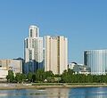
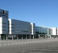

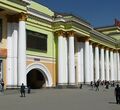
Tyumen
Tyumen is the largest city and the administrative center of Tyumen Oblast, the first Russian city in Siberia, located on the Tura River. The population of Tyumen is about 698,000 (2015).
Tyumen was founded in 1586 to support Russia's eastward expansion, the city has remained one of the most important industrial and economic centers east of the Ural Mountains. Located at the junction of several important trade routes and with easy access to navigable waterways, Tyumen developed from a small military settlement to a large industrial town. The central part of Old Tyumen retains many historic buildings. The interesting fact about the city is that during the Second World War, the body of Lenin was evacuated from Moscow to Tyumen. During this period, the functions of the mausoleum were fulfilled by the present Tyumen State Agricultural Academy.
Tyumen is one of the stops on Kamiński’s route and is located about 4590 km from the start point (Zakopane).



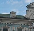
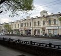
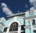
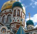
Omsk
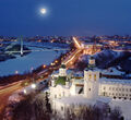
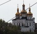
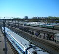
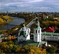
Omsk is a city and the administrative center of Omsk Oblast, Russia, located in southwestern Siberia 2,236 km from Moscow. With a population of 1,154,116, it is Russia's second-largest city east of the Ural Mountains after Novosibirsk, and seventh by size nationally. Omsk acts as an essential transport node, serving as a train station for Trans-Siberian Railway and as a staging post for the Irtysh River.
During the Imperial era, Omsk used to be the seat of the Governor General of Western Siberia and, later, of the Governor General of the Steppes. For a brief period during the Russian Civil War in 1918–1920, it served as the capital of the anti-Bolshevik Russian State and held the imperial gold reserves.
Omsk is the administrative center of the Siberian Cossack Host. It also serves as the see of the bishop of Omsk and Tara, as well as the administrative seat of the Imam of Siberia.
Omsk is one of the stops on Kamiński's route and is located about 4374 km from the Zakopane (start point).


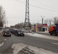
Novosibirsk
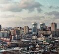
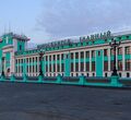
Novosibirsk is the third-most populous city in Russia after Moscow and St. Petersburg. It is the most populous city in Asian Russia, with a population of 1,602,900 as of the 2010 Census. It is the administrative center of Novosibirsk Oblast as well as of the Siberian Federal District. The city is located in the southwestern part of Siberia on the banks of the Ob River adjacent to the Ob River Valley, near the large water reservoir formed by the dam of the Novosibirsk Hydro Power Plant.
Novosibirsk, founded in 1893 at the future site of a Trans-Siberian Railway bridge crossing the great Siberian river of Ob, first was named Novonikolayevsk.
Novosibirsk is home to Russia's most powerful shortwave relay station east of the Ural mountains. This relay station can reach most of South Asia, the Middle East, and China.
It is a large industrial center. The industrial complex consists of 214 large and average sized industrial enterprises. Leading industries are airspace, nuclear fuel, turbo- and hydroelectric generators, textile machinery, agriculture machinery, electronics components and devices production, metallurgy and metal working.
Novosibirsk is one of the stops on Kamiński's route and is located about 5036 km from the Zakopane (start point).


Kemerovo
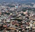
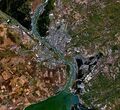
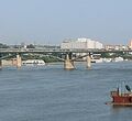
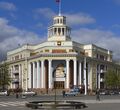
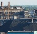
Kemerovo is an industrial city and the administrative center of Kemerovo Oblast, Russia, located at the confluence of the Iskitim and Tom Rivers, in the major coal mining region of the Kuznetsk Basin. The population is 532,981 (2010 Census).
Kemerovo is an amalgamation of, and successor to, several older Russian settlements. A waypoint named Verkhotomsky was established nearby in 1657. In 1701, the settlement of Shcheglovsk was founded on the left bank of the Tom; soon it became a village. By 1859, seven villages existed where modern Kemerovo is now. In 1721, coal was discovered in the area. The area's further development was boosted by the construction a railway between Leninsk-Kuznetsky. Shcheglovo was granted town status in 1918, which is now considered to be the date of Kemerovo's founding. In 1932, Shcheglovsk was renamed Kemerovo and became the administrative center of Kemerovo Oblast in 1943.
The industrialization of Kemerovo was driven and underpinned by coal mining and by the heavy industry based on the availability of coal. It remains an important industrial city, built up during the Soviet period, with important steel, aluminum and machinery. Since the disintegration of the Soviet Union, the city's industries have experienced a severe decline, creating high levels of unemployment.
Kemerovo is linked to western Russia by a branch of the Trans-Siberian Railway and has the Kemerovo Railway station.
Kemerovo is one of the stops on Kamiński's route and is located about 5301 km from the Zakopane (start point).


Achinsk
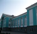
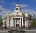
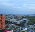
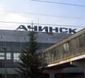
Achinsk is a city in Krasnoyarsk Krai, Russia, located on the right bank of the Chulym River near its intersection with the Trans-Siberian Railway. The population is about 109,155 (2010 Census).
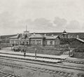
Achinsk is one of the oldest known inhabited places in the area. Paleontological study has shown that people lived here as early as 28,000–20,000 BCE. The modern city, however, was founded in 1641. After the fire of 1683, it was moved to the Chulym River. The official foundation date of the city is considered to be 1683. The name of the location derives from the Turkic tribal group Achi or Achigi. The first fort in 1683 was built with the high stockade square shaped walls. In 1710, a new wooden fort on the right bank of the Achinki River was created, at its confluence with the Chulym. In the late 19th century, the town became linked on the Trans-Siberian Railway.
Since 1990, Achinsk has been included in the official list of cities in Russia with historical and cultural value of nationwide significance.
The economy of Achinsk is based around heavy industry and contains a refinery and also produces construction materials, including wood, asphalt, cement. It is also involved with the food industry and contains dairy factories and a meat processing plant as well as footwear and furniture factories.
Achinsk is one of the stops on Kamiński's route and is located about 5661 km from the Zakopane (start point).


Krasnoyarsk
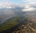
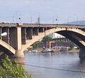
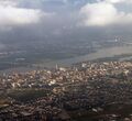
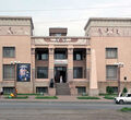
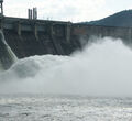
Krasnoyarsk is a city in Russia, the largest cultural, economic, industrial, and educational center of Central and Eastern Siberia, the capital of Krasnoyarsk krai (the second largest region in Russia). It is the largest of the ancient cities of Siberia. The population of Krasnoyarsk is about 1,052,000 (census 2015).
Krasnoyarsk was founded in 1628 as a military settlement in the place of the confluence of the Kacha and Yenisei rivers. Originally the settlement was called “Krasny Yar”. Krasnoyarsk became a town in 1690, when Siberia was finally annexed to Russia. In 1773, after a major fire, only thirty houses remained in Krasnoyarsk. The new linear layout of the town of St. Petersburg type was developed. This was the beginning of present Krasnoyarsk.
Krasnoyarsk is an important junction of the Trans-Siberian Railway and one of Russia's largest producers of aluminum.
Krasnoyarsk is one of the stops on Kamiński's route and is located about 5839 km from the Zakopane (start point).


Kansk
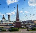
Kansk is a town in Krasnoyarsk Krai, Russia, located on the left bank of the Kan River. The population of Kansk is about 94,226.
Founded in 1628 as a Russian fort, it was transferred to its current location in 1636 and granted town status in 1782. The town is a center of the Kansk-Achinsk lignite basin, which in the early 1980s was developed into one of the largest coal areas of the Soviet Union. It also has cotton, timber, hydrolysis, and food industries.
The town is home to the Kansk air base and is crossed by the Trans-Siberian Railway.
Kansk is one of the stops on Kamiński's route and is located about 6069 km from the Zakopane (start point).


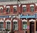

Tayshet
Tayshet is a town and the administrative center of Tayshetsky District in Irkutsk Oblast, Russia, located 669 kilometers from Irkutsk, the administrative center of the oblast. The population is about 37,000.
It was founded in 1897 as a supply point and station on the Trans-Siberian Railway and was granted town status in 1938.
During the 1930s–1950s, Tayshet was the center of administration for gulag labor camps Ozerlag and Angarstroy. According to some survivor accounts, between Tayshet and Bratsk there is "a dead man under every sleeper." Along with Japanese prisoners from the Kwantung Army, German prisoners of war formed a large proportion of the forced labor contingent. Surviving German POWs were repatriated in autumn of 1955, after West German Chancellor Konrad Adenauer's visit to Moscow.
Tayshet is one of the stops on Kamiński's route and is located about 6238 km from the Zakopane (start point).

Zima
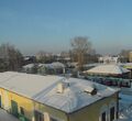
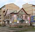
Zima is a town in Irkutsk Oblast, Russia, located at the point where the Trans-Siberian Railway crosses the Oka River. The town is situated on a low-lying plain, heavily water-logged. The Zima River joins the Oka in the town's vicinity.The population is about 34,508.
The village of Staraya Zima on the present site of the town was established in 1743. In 1772, its population began to grow more quickly due to the construction of a horse-tract from Moscow which crossed the Oka River. Until the 1900s, Zima remained a roadside, mainly agricultural village. In 1898, the Trans-Siberian railway was built through the village and a railroad station was opened. Town status was granted to Zima in 1925.
Zima's economy relies mainly on timber production and railway-related services.
Zima is one of the stops on Kamiński's route and is located about 6647 km from the Zakopane (start point).

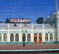
Irkutsk
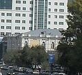
Irkutsk is the sixth largest city in Siberia, the capital of the Irkutsk region, Russia. It is located in Eastern Siberia, on the banks of the Angara River, at the confluence with the Irkut River (hence the name of the city), 66 km to the west of Lake Baikal, about 5,200 km to the east of Moscow. The population of Irkutsk is about 620,000.
Irkutsk was founded in 1661. That time, it was a small settlement playing the role of a gold and fur trade center. The settlement received the status of a town in 1686. Later, in 1760, the Siberian Road connected Irkutsk with the European part of the Russian Empire. It was the reason of further economic growth of Irkutsk.
From the beginning of the 19th century, Siberia in general and Irkutsk in particular became the place where a lot of Russian officers and nobles were exiled for taking part in Decembrist uprising. At the end of the 19th century, about 30% of Irkutsk population consisted of exiles. It was one of the reasons why the city became the cultural and educational center of Siberia. Electricity came to Irkutsk in 1896, the first theater - in 1897, and the railway station - in 1898. Irkutsk had the nickname “Siberian Paris” at the beginning of the 20th century. The city was one of the centers of Bolshevik Revolution resistance during the Russian Civil War.
Irkutsk is one of the stops on Kamiński's route and is located about 6931 km from the Zakopane (start point).


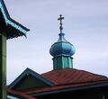
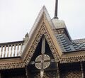
Slyudyanka
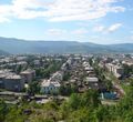
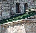
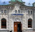
Slyudyanka is a town and the administrative center of Slyudyansky District of Irkutsk Oblast, Russia, located at the southern tip of Lake Baikal. The population of a town is about 19.000.
The town is a stop and major railroad junction for the Trans-Siberian Railway, and also serves as the starting point for the historic Circum-Baikal Railway.




Ulan-Ude
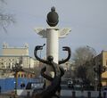
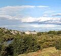
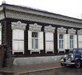
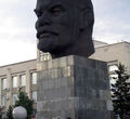
Ulan-Ude is the capital city of the Republic of Buryatia, Russia. The Buryats are an indigenous people who have made their home around the Baikal region for hundreds of years. According to the 2010 Census, 404,426 people lived in Ulan-Ude, making the city the third largest in eastern Siberia by population.
Russia has two regions where Buddhism is a strong force. The main one is in Uan Ude.
Ulan-Ude is one of the stops on Kamiński's expedition route.



Kyakhta
Kyakhta is a town and the administrative center of Kyakhtinsky District in the Republic of Buryatia, Russia, located on the Kyakhta River near the Mongolia–Russia border. The town stands directly opposite the Mongolian border town of Altanbulag. The population for 2010 was about 20,041. From 1727 it was the border crossing for the Kyakhta trade between Russia and China.
Kyakhta is one of the stops on Kamiński's expedition.


Darhan
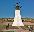
Darkhan with the population of 180.000 is the third largest city in Mongolia.
Darkhan province was built in 1961 as an industrial center in the North and Darkhan-Uul province was established in 1994. It is located along the Mongolian railway linking the north and south of Mongolia. Even if it is located in the heart of the province of Selenge, the city is considered a municipality in its own right. Darkhan has rich natural resources and mineral deposits as well as an abundance of vegetation and wildlife. There are protected animals such as sable, deer, elk, beaver, and the sturgeon, which are registered in the Red Book.
Darkhan is one of the stops on Kamiński's route.



Ulaanbaatar
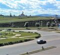
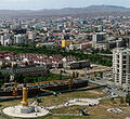
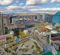
Ulaanbaatar is the capital and largest city of Mongolia. The city is not part of any aimag (province), and its population as of 2014 was over 1.3 million, almost half of the country's total population.
Located in north central Mongolia, the municipality lies at an elevation of about 1,300 meters (4,300 ft) in a valley on the Tuul River. It is the country's cultural, industrial and financial heart, the centre of Mongolia's road network and connected by rail to both the Trans-Siberian Railway in Russia and the Chinese railway system.
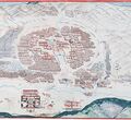
The city was founded in 1639 as a nomadic Buddhist monastic centre. In 1778, it settled permanently at its present location, the junction of the Tuul and Selbe rivers. Before that, it changed location twenty-eight times, with each location being chosen ceremonially. In the twentieth century, Ulaanbaatar grew into a major manufacturing center.
As the main industrial center of Mongolia, Ulaanbaatar produces a variety of consumer goods and is responsible for about two-thirds of Mongolia's total gross domestic product (GDP).
Mainstream tourist guide books usually recommend to visit the Gandantegchinlen Monastery with the large Janraisig statue, the socialist monument complex at Zaisan Memorial with its great view over the city, the Winter Palace of the Bogd Khan, Chinggis Square and the nearby Choijin Lama Temple. Popular destinations for day trips are the Gorkhi-Terelj National Park, the Manzushir monastery ruins on the southern flank of Bogd Khan Uul and Genghis Khan Equestrian Statue.
Ulaanbaatar is one of the stops on Kamiński's route and is located about 7949 km from the Zakopane (start point).



Choir
Choir is a city in Mongolia. It is the capital of Govisümber Province, in the east-central part of the country. Choir is officially known as Sümber sum of Govisümber Province. The population is about 8,000.
Choir was a military base during the Soviet period. In 1989, the Soviet anti-aircraft missile units left Choir. The longest runway in Mongolia, now abandoned, is located 25 km from Choir, a relic of that period. In 1992, the military cantonment passed into the jurisdiction of Govisümber Province, according to the 1992 constitution. Near the railway station is a statue commemorating Mongolia's first cosmonaut, Jügderdemidiin Gürragchaa.
Choir has been declared a free enterprise zone
Choir is one of the stops on Kamiński's route and is located about 8175 km from the Zakopane (start point).


Sainshand
Sainshand is the capital of the province of Dornogovi, located Southeast Ulan Bator. It’s located in the desert steppes of the Eastern part of Gobi, on the Transmongolian’s way. This strategic location on the railway’s way allows it to enjoy a certain economic development, and the city, unlike other capitals of province, attracts a growing population and has 29.000 inhabitants today.
30 kilometres (19 miles) South city, we find the Buddhist monastery of Khamar, and the Shambala. Sainshand has a museum dedicated to Danzanravjaa, monastic literary figure of the 19th century, and distinguished leader of the school Nyingma (red hat) of Tibetan Buddhism.
Sainshand is one of the stops on Kamiński's route and is located about 8402 km from the Zakopane (start point).


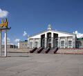

Erenhot
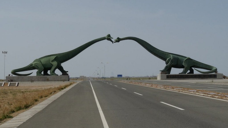
Erenhot is a county-level city of the Xilin Gol League, in Inner Mongolia Autonomous Region, located in the Gobi Desert along the Sino-Mongolian border, across from the Mongolian town of Zamyn-Üüd. There are 74,197 inhabitants (2010 census). The area around the town, especially a salt lake to the east, is known for the discovery of a number of different dinosaurs. The city houses a dinosaur museum, and in 2006 a big arch in form of two Sauropoda was built on the highway southward.
Erenhot is one of the stops on Kamiński's route.


Beijing
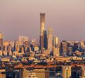
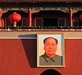
Beijing is the capital of the People's Republic of China, the world's second most populous city proper, and most populous capital city. It is situated at the north edge of the North China Plain. Not far to its northwest is the vast Inner Mongolian Plateau and a hundred kilometers to the east is the Bohai Sea. Beijng is also flanked by the crawling Taihang Mountains to its west and the alluvial plain by the rivers of Yongding and Chaobai to its south.
The city's history dates back three millennia. As the last of the Four Great Ancient Capitals of China, Beijing has been the political center of the country for much of the past eight centuries. With mountains surrounding the inland city on three sides, in addition to the old inner and outer city walls, Beijing was strategically poised and developed to be the residence of the emperor and thus was the perfect location for the imperial capital. Beijing was the largest city in the world by population for much of the second millennium A.D. The city is renowned for its opulent palaces, temples, parks, gardens, tombs, walls and gates. Its art treasures and universities have made it center of culture and art in China.
As a city combining both modern and traditional architecture, Beijing is a megacity rich in history, exemplified in its global influence in politics, economy, education, history, culture, and technology. It is home to the headquarters of most of China's largest state-owned companies and is a major hub for the national highway, expressway, railway, and high-speed rail networks. The Beijing Capital International Airport has been the second busiest in the world by passenger traffic.
Beijing is one of the stops on Kamiński's route and is located about 9244 km from the Zakopane (start point).





Tianjin
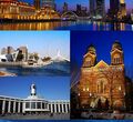
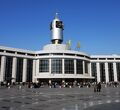
Tianjin, formerly known in English as Tientsin, is a metropolis in northern coastal Mainland China and one of the four national central cities of the country, with a total population of 15,469,500, and is also the world's 6th-most populous city proper. It is governed as one of the four direct-controlled municipalities of the PRC. Tianjin borders Hebei Province and Beijing Municipality, bounded to the east by the Bohai Gulf portion of the Yellow Sea. Part of the Bohai Economic Rim, it is the largest coastal city in northern China.
The walled city of Tianjin was built in 1404. As a treaty port since 1860, Tianjin has been a major seaport and gateway to Beijing. During the Boxer Rebellion the city was the seat of the Tianjin Provisional Government. Under the Qing dynasty and the Republic of China, Tianjin became one of the largest cities in the region. At that time, numerous European-style buildings and mansions were constructed in concessions, many of which are well-preserved today. After the founding of the People's Republic of China, Tianjin suffered a depression due to the policy of the central government and Tangshan earthquake, but recovered from 1990s. Nowadays Tianjin is a dual-core city, with its main urban area (including the old city) located along the Hai River, which connects to the Yellow and Yangtze Rivers via the Grand Canal; and Binhai, a New Area urban core located east of the old city, on the coast of Bohai Sea.
In recent years it receives more and more attention from visitors due to its illustrious historical heritage and other natural resources. Blessed with variety of attractions, this is a good place to explore. There are also many natural scenes of beauty as well as great historical events.
Tianjin is one of the stops on Kamiński's route and is located about 9526 km from the Zakopane (start point).





Incheon
Incheon is a city located in northwestern South Korea, bordering Seoul and Gyeonggi to the east. Inhabited since the Neolithic, Incheon was home to just 4,700 people when it became an international port in 1883. Today, about 3 million people live in the city, making it Korea’s third most-populous city after Seoul and Busan. The city's growth has been assured in modern times with the development of its port due to its natural advantages as a coastal city and its proximity to the South Korean capital. It is part of the Seoul Capital Area, along with Seoul itself and Gyeonggi Province, forming the world's fourth largest metropolitan area by population.
Incheon has since led the economic development of Korea by opening its port to the outside world, ushering in the modernization of Korea as a center of industrialization. In 2003, the city was designated as Korea’s first free economic zone.
Incheon is a major domestic and international transport hub for Korea.
Incheon is located on 9526 km on Kamiński's expedition route. He is going to get there by a ferry from Tianjin.




Gunsan
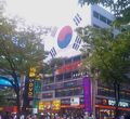
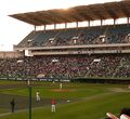
Gunsan is a city in North Jeolla Province, South Korea. It is on the south bank of the Geum River just upstream from its exit into the Yellow Sea. The Gunsan Islands consist of 16 inhabited islands and 47 uninhabited islands.
It has emerged as a high-tech manufacturing industrial city and an international trade seaport that is approximately 200 km southwest of Seoul on the midwest coast of the Korean Peninsula.
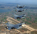
Kunsan Air Base operated by the United States Air Force is in the city. To encourage investment, a free trade zone has been declared in the area.
Gunsan is one of the stops on Kamiński's route and is located on 9735 km on his expedition route.





Busan
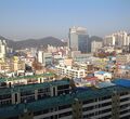
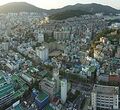
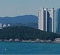
Busan, formerly known as Pusan and now officially Busan Metropolitan City, is South Korea's second most-populous city after Seoul, with a population of over 3.5 million inhabitants. It is located on the coast, which determined the development of the whole city itself. It is the economic, cultural and educational center of southeastern Korea, with its port—Korea's busiest and the 9th-busiest in the world—only about 120 miles (190 km) from the Japanese islands of Kyushu and Honshu.
Busan is divided into 15 major administrative districts and a single county. The full metropolitan area, including the adjacent cities of Gimhae and Yangsan, has a population of approximately 4.6 million. The most densely built-up areas of the city are situated in a number of narrow valleys between the Nakdong and the Suyeong Rivers, with mountains separating most of the districts. The Nakdong is Korea's longest river and Busan's Haeundae Beach is also the country's largest.
The surrounding "Southeast Economic Zone" is now South Korea's largest industrial area. Busan is an international business and financial center and renowned for its machinery, steel, ship building and marine industries, fashion, tourism and trade fairs. Busan is the fifth busiest seaport in the world,[5] with transportation and shipping among the most high-profile aspects of the local economy.
Busan is located on 9735 km on Kamiński's expedition route.




Fukuoka
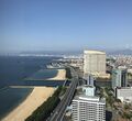
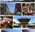
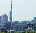
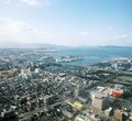
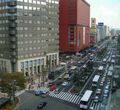
Fukuoka is the capital city of Fukuoka Prefecture, situated on the northern shore of Japanese island Kyushu. Fukuoka is bordered on three sides by mountains and opens, on the north, to the Genkai Sea. With a population of about 2.5 million people, it is the most populous city on the island. As of 2015, Fukuoka is Japan's sixth largest city, having passed the population of Kobe. As of July 2011, Fukuoka passed the population of Kyoto. Since the founding of Kyoto in 794, this marks the first time that a city west of the Kinki region has a larger population than Kyoto. It is also the largest city and metropolitan area west of Keihanshin.
The city was designated on April 1, 1972, by government ordinance.
Greater Fukuoka is part of the heavily industrialized Fukuoka–Kitakyushu zone as well as Northern Kyushu. Fukuoka is the economic center of the Kyushu region, with an economy largely focused on the service sector. Fukuoka city is also the largest startup city in Japan, and is the only economic zone for startup.
Fukuoka hosts more than 2 million foreign visitors annually, with the majority coming from neighboring South Korea and China.
Fukuoka is located on 10023 km on Kamiński's expedition route. He is going to get there by a ferry from Busan.


Hiroshima
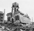
Hiroshima is the capital of Hiroshima Prefecture and the largest city in the Chūgoku region of western Honshu - the largest island of Japan. Hiroshima, a name meaning "Broad Island", gained city status in 1889. In 1980, Hiroshima became a designated city. As of August 2016, the city has an estimated population of 1,196,274.
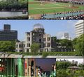
Hiroshima is best known as the first city in history to be targeted by a nuclear weapon when the United States Army Air Forces (USAAF) dropped an atomic bomb on the city at 8:15 a.m. on August 6, 1945, near the end of World War II.
Hiroshima has many interesting places to visit. A popular destination is going to the Utsukushima Island, also known as Miyajima, which is a sacred island with many temples and shrines. But inside Hiroshima there are many popular destinations as well, and according to online guidebooks, these are the most popular tourist destinations in Hiroshima: Hiroshima Peace Memorial Museum, the Atomic Bomb Dome,
Hiroshima Peace Memorial Park, Mazda Zoom-Zoom Stadium Hiroshima, Hiroshima Castle and Shukkei-en.
Hiroshima is one of the stops on Kamiński's route and is located 10328 km from Zakopane (start point).





Okayama
Okayama is the capital city of Okayama Prefecture, which in turn is located in western part of the island of Honshū. The city is bounded on the south by the Inland Sea. Asahi River crosses Okayama.. The city was founded on in 1889. As of February 2017, the city has an estimated population of 720,841.
Before the Muromachi period, Okayama was one corner of a farm region and included a small castle built by the Kanemitsu. The city became one of the ten best large castle towns in Japan in the 18th century. In 1889, Okayama City was founded. It became one of the most important places in western Japan for transportation and education. During Japan's economic boom of the 1960s, Okayama developed rapidly as one of the most important cities in the Chūgoku and Shikoku regions. The city became a core city in 1996 and a designated city on April 1, 2009.
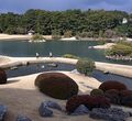
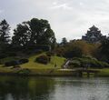
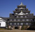
Okayama Castle, which is ranked among the best 100 Japanese castles, and Kōraku-en, which is known as one of the top three traditional gardens in Japan, are Okayama's most notable attractions.
Okayama is one of the stops on Kamiński's route and is located 10485 km from Zakopane (start point).


Kyoto
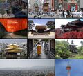
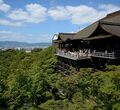
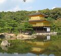
Kyoto is a city located in a valley, part of the Yamashiro Basin, in the eastern part of the mountainous region known as the Tamba highlands, which is the central part of the island of Honshu, Japan. The Yamashiro Basin is surrounded on three sides by mountains known as Higashiyama, Kitayama and Nishiyama. It has a population close to 1.5 million. Kyoto became a city designated by government ordinance on September 1, 1956. Formerly the Imperial capital of Japan for more than one thousand years, it is now the capital city of Kyoto Prefecture located in the Kansai region, as well as a major part of the Kyoto-Osaka-Kobe metropolitan area.
The key industry of Kyoto is information technology and electronics.
Kyoto is one of the stops on Kamiński's route and is located 10688 km from Zakopane (start point).


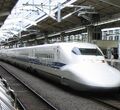
Hamamatsu
Hamamatsu is a city located in western Shizuoka Prefecture, Japan. As of September 1, 2015, the city had an estimated population of 789,407.
In 2005, Hamamatsu absorbed the cities of Tenryū and Hamakita, the town of Haruno (from Shūchi District), the towns of Hosoe, Inasa and Mikkabi (all from Inasa District), the towns of Misakubo and Sakuma, the village of Tatsuyama (all from Iwata District), and the towns of Maisaka and Yūtō (both from Hamana District) to become the current and expanded city of Hamamatsu. It became a city designated by government ordinance in 2007.
Hamamatsu has been famous as an industrial city, especially for musical instruments and motorcycles. It also has been known for fabric industry, but most of those companies and factories went out of business in the 1990s.
Hamamatsu is one of the stops on Kamiński's route and is located 10917 km from Zakopane (start point).



Tokyo
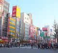
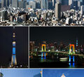
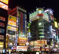
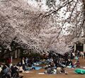
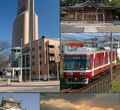
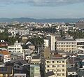
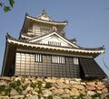
Tokyo is the capital city of Japan and one of its 47 prefectures. The Greater Tokyo Area is the most populous metropolitan area in the world. It is the seat of the Emperor of Japan and the Japanese government. Tokyo is in the Kantō region on the southeastern side of the main island Honshu and includes the Izu Islands and Ogasawara Islands. Tokyo Metropolis was formed in 1943 from the merger of the former Tokyo Prefecture and the city of Tokyo.
Tokyo is often referred to as a city, but is officially known and governed as a "metropolitan prefecture", which differs from and combines elements of a city and a prefecture, a characteristic unique to Tokyo. The Tokyo Metropolitan Government administers the 23 Special Wards of Tokyo (each governed as an individual city), which cover the area that was the city of Tokyo before it merged and became the metropolitan prefecture in 1943, the 30 municipalities in the western part of the prefecture, and the two outlying island chains. The population of the special wards is over 9 million people, with the total population of the prefecture exceeding 13 million.
Tokyo has the largest metropolitan economy in the world. It is a major international finance center;[83] it houses the headquarters of several of the world's largest investment banks and insurance companies, and serves as a hub for Japan's transportation, publishing, electronics and broadcasting industries.
Architecture in Tokyo has largely been shaped by Tokyo's history. Twice in recent history has the metropolis been left in ruins: first in the 1923 Great Kantō earthquake and later after extensive firebombing in World War II. Because of this, Tokyo's urban landscape consists mainly of modern and contemporary architecture, and older buildings are scarce
Tokyo is one of the stops on Kamiński's route and is located 11179 km from Zakopane (start point).


